ATLANTA — Tropical Storm Arthur has formed in the western Gulf near the Texas coast. The storm is moving northeast and will dissipate over Louisiana on Thursday.
This will not be a tropical storm when it reaches Georgia later Thursday, but it will bring the potential for severe storms and flooding. The greatest impacts will be for areas near and south of I-20.
Severe Weather Team 2 Chief Meteorologist Brad Nitz will be tracking Tropical Storm Arthur, LIVE on Channel 2 Action News starting at 4:00 p.m.
[DOWNLOAD: Free WSB-TV Weather App for alerts wherever you go]
SEVERE STORM POTENTIAL
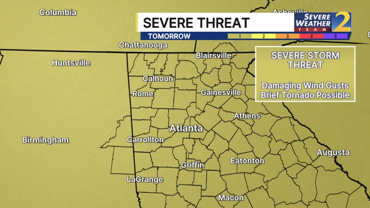
The remnants of the tropical system currently in the western Gulf will move across Georgia late Thursday and the overnight hours on Friday.
There will be a severe storm threat for our entire area. The storms will have the potential to bring damaging wind gusts 60 mph+.
Isolated, brief tornadoes are common with tropical systems and that threat will likely be across the southern half of our area. The exact location of the tornado threat will depend on the track of this low pressure.
[INTERACTIVE: StormTracker 2HD Radar]
FLOOD WATCH
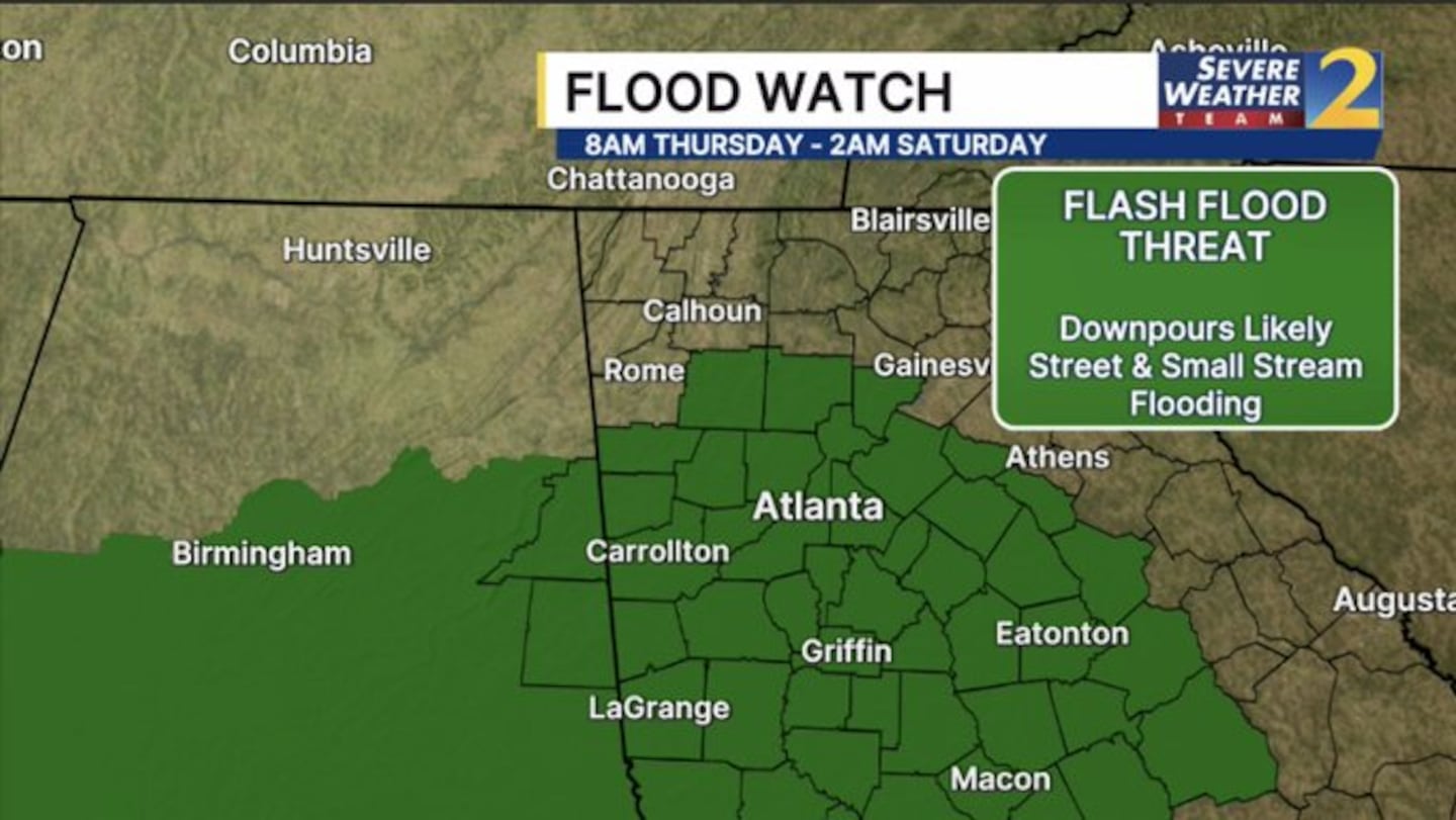
A flood watch will go into effect Thursday at 8 a.m. through 2 a.m. Saturday with the threat of flash flooding through Between 2-4 inches of rain is possible over the southern half of our area, with locally higher amounts possible. The flooding risk is highest south of I-20.
There is also the risk for some storms to become severe.
Here are the counties under a flood watch for Thursday and Friday.
- Barrow, Bartow, Butts, Carroll, Cherokee, Clayton, Cobb, Coweta, DeKalb, Douglas, Fayette, Forsyth, Fulton, Greene, Gwinnett
- Hancock, Haralson, Heard, Henry, Jasper, Lamar, Meriwether, Monroe, Morgan, Newton, Oconee
- Paulding, Pike, Polk, Putnam, Rockdale, Spalding, Troup, Upson, Walton
©2026 Cox Media Group


