
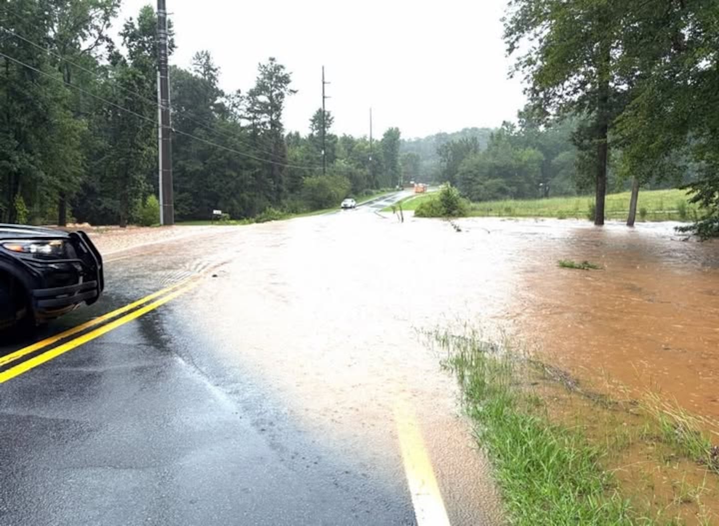
Rainfall left flooding in areas across north Georgia on Friday, including highways in metro Atlanta.
5:00 p.m. - Flash Flood Warning for DeKalb and Gwinnett County until 8:00pm Friday.
4:55 p.m. - Cherokee County flooding, Severe Weather Team 2 Chief Meteorologist Brad Nitz says. Remember, “turn around, don’t drown.” You have no way of knowing how deep the water is, when a road is washed out you can’t tell.
FLOODING IN WOODSTOCK:
4:45 p.m. - Severe Thunderstorm Warning for Butts, Henry, Newton and Rockdale County until 5:30pm.
4:32 p.m. - There is an area of flooding along I-85 South. Viewer photos showed a car stranded in floodwater on a service road by the intersection of I-285 in northern DeKalb County.
A portion of U.S. 78 in DeKalb County also is flooded.
4:14 p.m. - Flash Flood Warning for Forsyth and Gwinnett County until 10:15pm Friday.
4:08 p.m. - Severe Thunderstorm Warning for DeKalb, Henry, and Rockdale County until 4:45pm.
3:51 p.m. - Severe Thunderstorm Warning for DeKalb and Gwinnett County until 4:30pm.
3:10 p.m. - Ground stop issued at Hartsfield-Jackson Atlanta International Airport until 4:15 p.m.
2:50 p.m. - Flash Flood warning also now in effect for parts of Dawson and Lumpkin counties until 5:45 p.m.
A flash flood warning has been issued for parts of Fannin and Gilmer counties until 4:45 p.m. Friday.
Between 1.5 - 3.0 inches of rain has fallen and an additional 2 - 3 inches is possible from slow moving storms in this area.
Watch for flash flooding of small creeks and streams, streets, low-lying areas.
Scattered storms will move through parts of north Georgia to start the weekend. And the dangerous heat also returns.
A few strong or severe storms are possible each day. Damaging wind gusts are the main threat.
Chief Meteorologist Brad Nitz will be tracking storms that develop, LIVE on Channel 2 Action News starting at 4:00 p.m.
[DOWNLOAD: Free WSB-TV Weather App for alerts wherever you go]
As for our temperatures, it will turn hotter again in the days ahead with highs in the 90s. A heat advisory will go into effect Friday for parts of our area for heat index values up to 108 degrees possible.
The advisory will last from 12 p.m. to 8 p.m. for the following counties: Banks, Barrow, Clarke, Greene, Jackson, Jasper, Madison, Morgan, Newton, Oconee, Oglethorpe, Putnam and Walton.
[DOWNLOAD: Free WSB-TV News app for alerts as news breaks]
[SIGN UP: WSB-TV Daily Headlines Newsletter]
©2026 Cox Media Group


